Boat trip
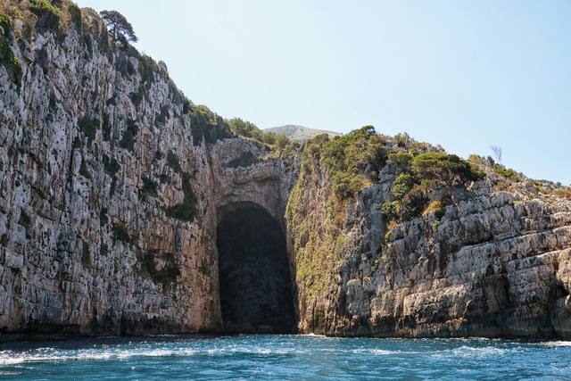
Haxhi Ali Cave by boat
A large sea cave at the northern tip of Karaburun, entered by boat on calm days — one of the most photographed stops on the coast.
⏱ Usually part of a 3–6 hour trip
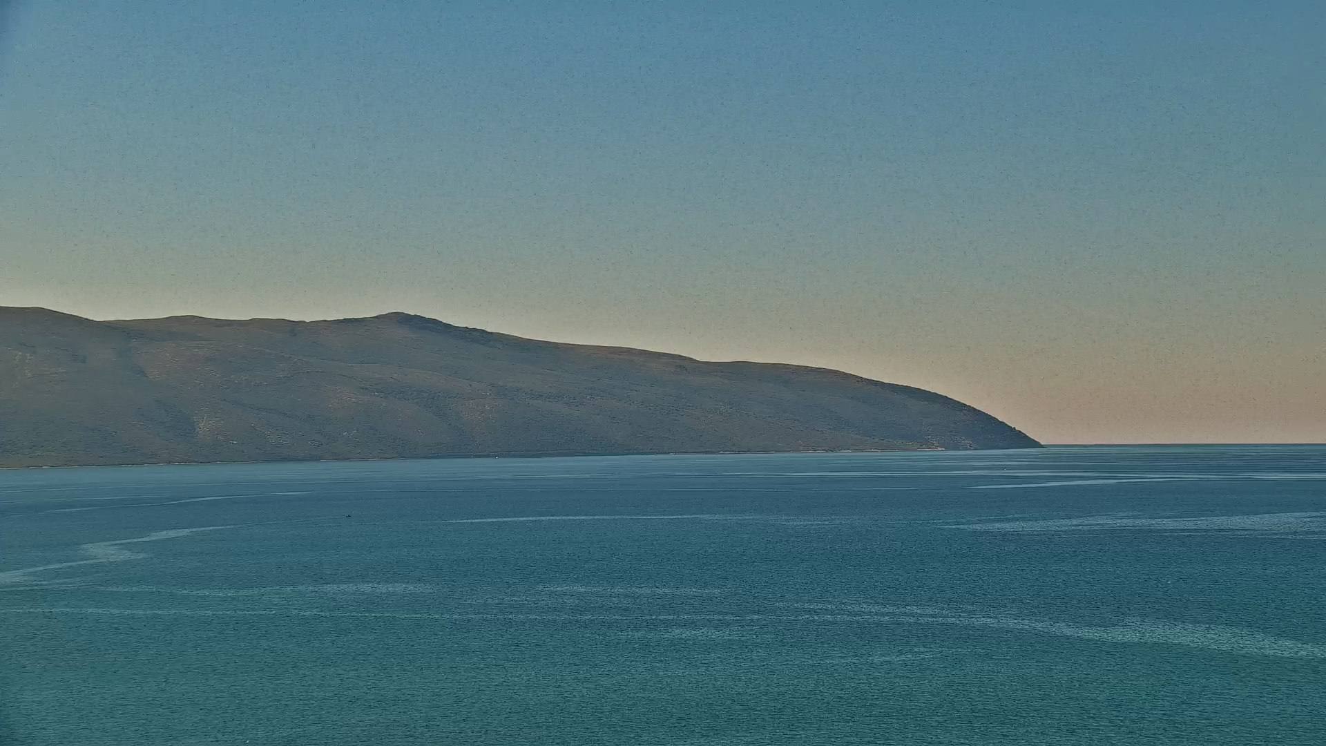
The roadless mountain arm across the bay: cliffs, sea caves, coves you reach only by boat, ancient sailors’ inscriptions — and the dark ridge behind every sunset on the camera.
Checked · next check by Due for a re-check — confirm locally before relying on it.
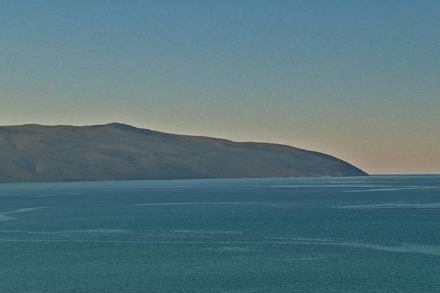
Karaburun is the long, mountainous peninsula that forms the western side of Vlora Bay — the ridge you see across the water from the Lungomare. It has no road along its coast and almost no inhabitants. Its outer side faces the open Ionian Sea; its inner side shelters the bay.
The sea around it belongs to the Karaburun-Sazan National Marine Park, declared in 2010. At its southern foot lie Orikum and the Pashaliman naval base, which is closed to visitors.
A large sea cave at the northern tip of Karaburun, entered by boat on calm days — one of the most photographed stops on the coast.
⏱ Usually part of a 3–6 hour trip
Clear water, sea caves and rocky coves inside the Karaburun-Sazan marine park, reached on boat trips that build in swim and snorkel stops.
⏱ Half day or full day
Your own boat and skipper for a family or group: choose the coves, set the pace, and go as far as Grama Bay on a long day.
⏱ 4 hours to full day
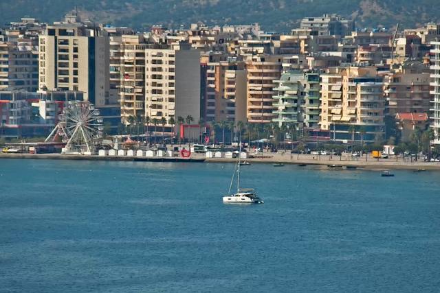
By boat is the normal way: shared trips and private charters from the Vlora waterfront, and boats from Orikum, which is closer. See two ways to go by boat.
Facts that can change are dated and checked against the sources below. Vlora.live has no relationship with these organisations; if something has changed, please tell us.